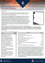
Arizona County Agricultural Economy Profiles

Data on agricultural production, water use across sectors, and regional economies are important to understanding the role of agriculture within regions and states. These data are available from different agencies and databases, but are often presented independently, with limited context. This collection of county profiles presents agricultural production, water use, and regional economic data in a standardized, integrated, and easy-to-read format to provide context on the role of agriculture within state and county economies, as well as its role as a manager of land and natural resources. The county profiles integrate data from the USDA Census of Agriculture (including the most recent 2017 USDA Census of Agriculture), the Bureau of Economic Analysis, the Bureau of Labor Statistics, Arizona Department of Water Resources, and the U.S. Geological Survey. Profiles are available for all 15 of Arizona's counties as well as a statewide summary.

